PR 00190: verschil tussen versies
Geen bewerkingssamenvatting |
Geen bewerkingssamenvatting |
||
| Regel 36: | Regel 36: | ||
|Show VE button=Ja | |Show VE button=Ja | ||
|Show category label=Nee | |Show category label=Nee | ||
|Show title= | |Show title=Nee | ||
|Create process and content pages=Nee | |Create process and content pages=Nee | ||
}} | }} | ||
Versie van 13 mei 2019 11:20
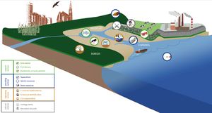
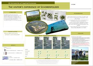
The area between Middelburg-Vlissingen and Sloehaven, the harbour along the Western Scheldt estuary, is used as agricultural land and forms a bufferzone between the urban environment and port activities. One small part called Schorerpolder is owned by North Sea Port (NSP). NSP is planning to use the polder for nature compensation as part of a port development plan. The plan is to bring seawater back into the polder by constructing an opening in the dyke. In that way, the polder can develop into a valuable intertidal habitat, an important habitat for the Western Scheldt estuary which is under pressure.
In this project you will work in a team of students from different disciplines (civil engineering, delta management, and aquatic eco-technology), under supervision of a team of experts form the BwN research group and external partners. The task is to identify furture ecosystem services that may develop once Schorerpolder is under tidal influence. You will be asked to think about opportunities to enhance ecosystem services by using eco-engineering principle. You will be ask to use your research skills and creativity for the development of ambitious, but feasible polder designs.
Research type: field research, desk analysis (GIS), stakeholder meetings
Research level: graduation bachelor thesis, master River Delta Development project
Prerequisite: interest in ecology and nature compensation, civil engineering, morphology, transition management
Partners: North Sea Port, Zeeuwse Milieuferderatie, Staatsbosbeheer, WMR, NIOZ, Deltares,
Client: Joost Stronkhorst (HZ)


